traili

Panorama Radweg Bucklige Welt - Radweg

0
1

Routenstatistiken

Übersicht der Routendetails und Metriken

Distanz

53.8 km

Dauer

3h 30m

Höhengewinn

1503m

Höhenverlust

1496m

Oberflächentyp

Befestigt

99%

Unbefestigt

0%

Schotter

1%

Unbekannt

0%

Radweg

16%

Nebenstraße

34%

Straße

48%

Sonstige

2%

Routenbeschreibung

Detaillierte Informationen über diese Route

Panorama Radweg Bucklige Welt

Pictuore of Panorama Radweg Bucklige Welt bike trail

Route Description

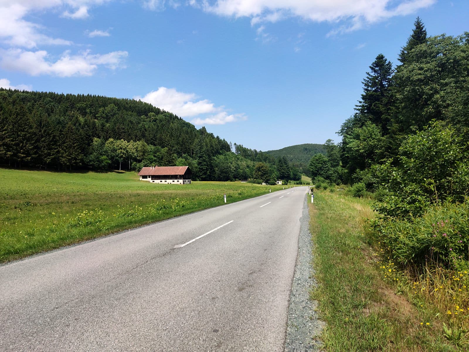
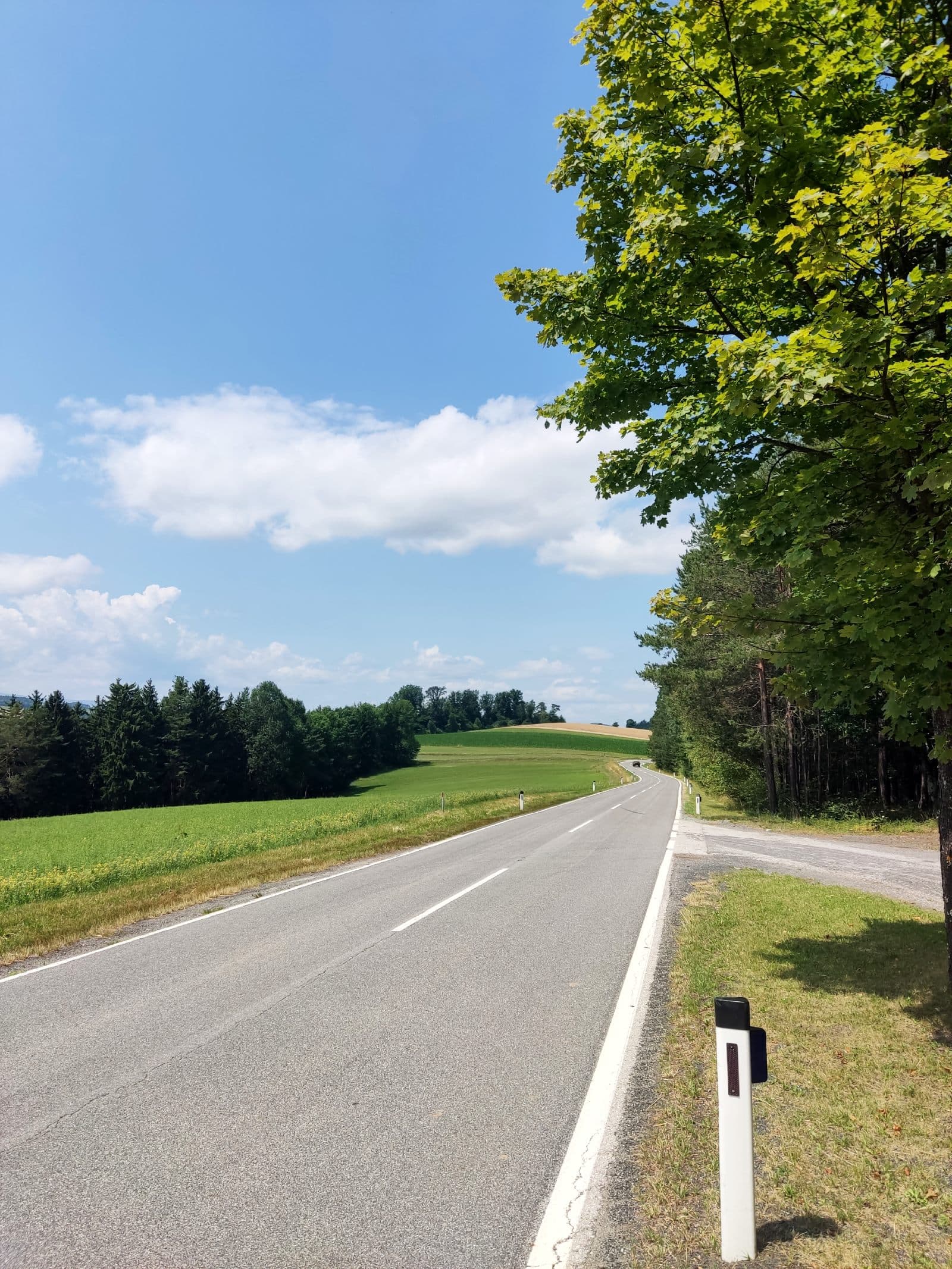
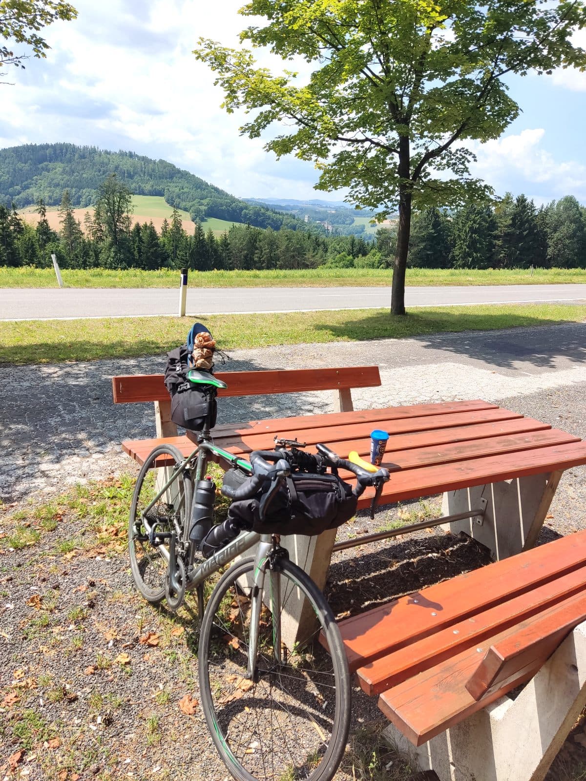
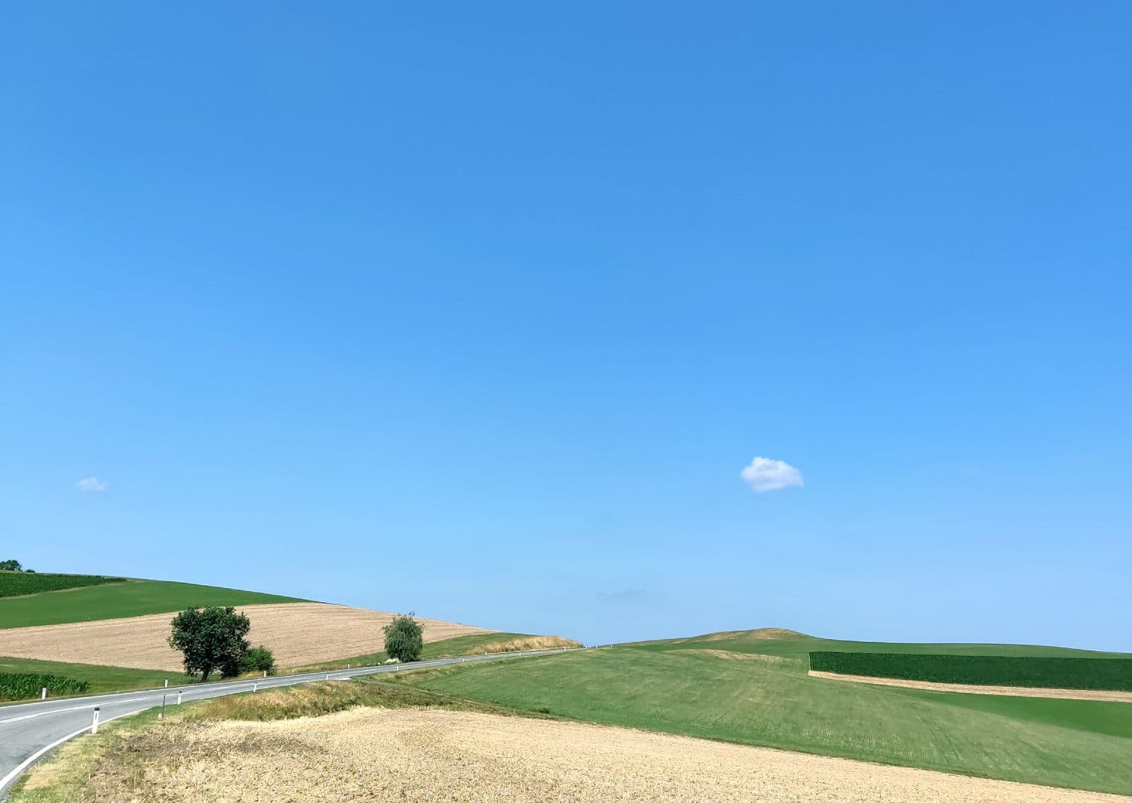
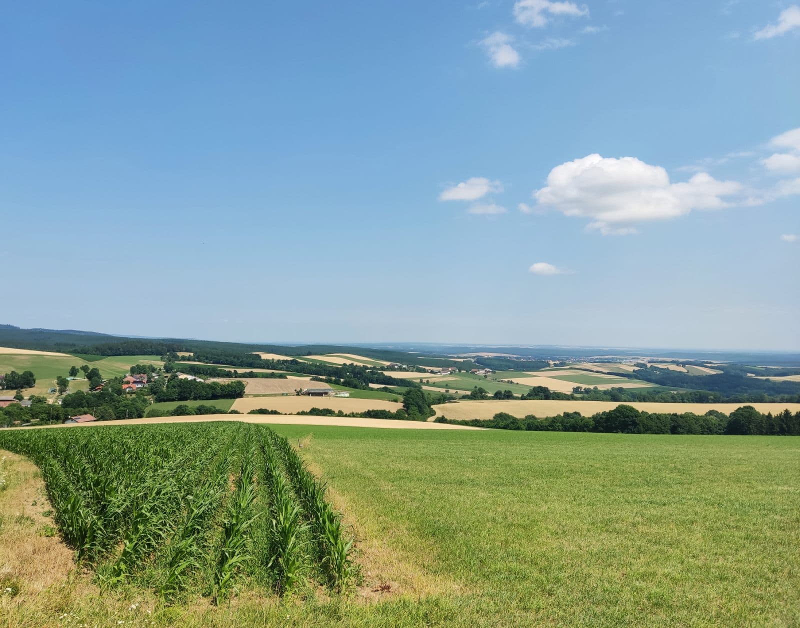
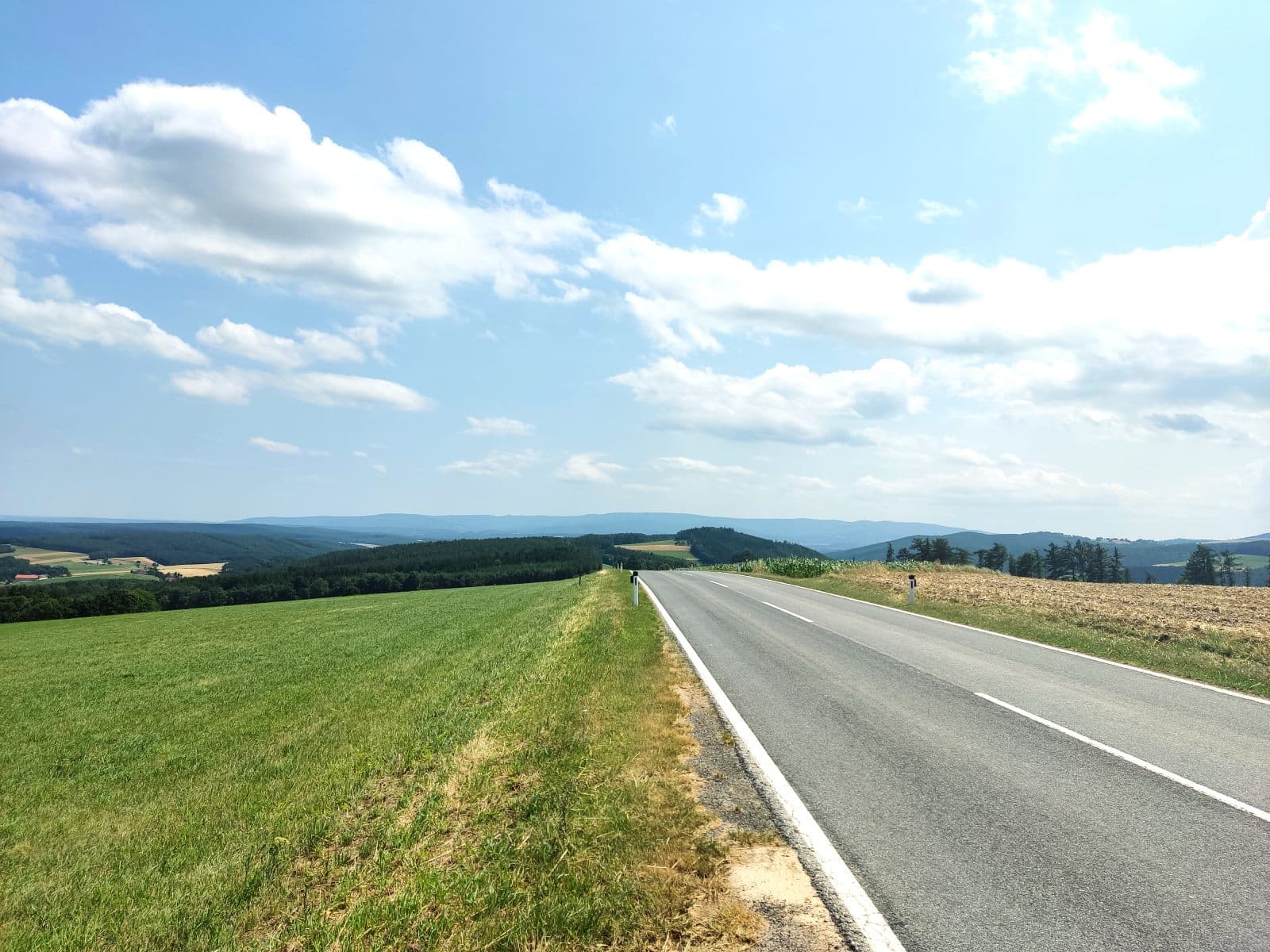
The Panorama Radweg Bucklige Welt trail leads through the beautfiul hilly landscape of the Bucklige Welt region, which is known as "The Land of 1000 Hills" due to its distinctive topography. The route reaches elevations of up to 800m and provides breathtaking views of the surrounding countryside. The loop consists of mainly low traffic local roads and some seperated bike paths making it a perfect choice for road cyclists.

The loop includes 3 significant climbs - the first one is gradual, while the second and third are considerably steeper. An e-bike is strongly recommended for untrained cyclists as the steep sections make this route particularly challenging.

Panoramic view of thee Bucklige Welt area

Attractions

While the route primarily showcases the natural landscape, it passes through Kirchschlag in der Buckligen Welt where visitors can view the Kirchschlag Castle Ruins.

Pictuore of a local road on the Panorama Radweg Bucklige Welt bike trail

Getting There

Two main options for accessing the Panorama Radweg Bucklige Welt trail:

  1. By car: Parking available in the main market square (Parkplatz Hauptplatz)

  2. By train: The nearest station is Petersbaumgarten Bahnhst. From there, cyclists can start the trail from Zobern town, located 10 km from the station

Bewertungen

Bewertungen von anderen Nutzern

T
Tomasz GasperJan 5, 2025

Echt leiwande Aussichten, der Straßenbelag ist top und kaum Verkehr. Eine perfekte Strecke fürs Training, aber mit einem E-Bike kann's auch eine gemütliche Freizeitrunde sein. Gleich am Anfang gibt's auch eine gemütliche Bank beim Wäldchen (hab' ein Foto davon hochgeladen), wo man sich noch geschwind mit einem Kaffee für die Tour stärken kann :) Auch wenn die Strecke nur 50 km lang ist, ist sie durch die ganzen Steigungen recht heftig - man sollte locker 3-4 Stunden nur fürs Radeln einplanen.

User uploaded photo 1
User uploaded photo 2
User uploaded photo 3
Road Quality
5
Safety
4
Scenery
5
Best for
Road Bike
Bewertung abgeben

Bitte melden Sie sich an, um eine Bewertung abzugeben