Trail Characteristics:
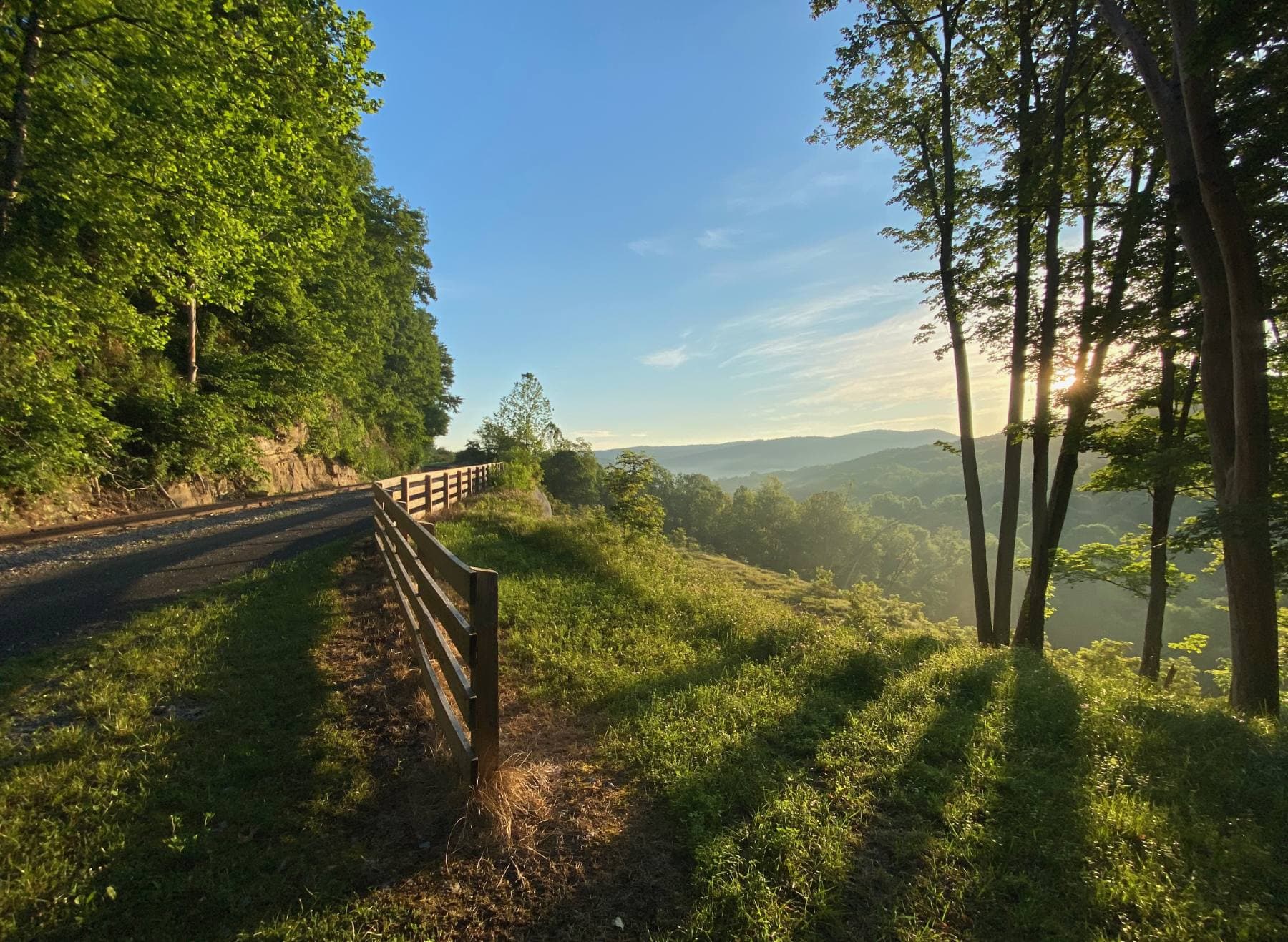
 Great Allegheny Passage rail to trail Ohiopyle State Park. Photo by: bobistraveling, CC BY 2.0
- Surface is primarily crushed limestone with around 20 miles of paved sections
- Passes through diverse landscapes including valleys, mountains, and rivers
- Connects twelve trail towns with various amenities (lodging, restaurants, etc.)
- Never more than ten miles between towns
- Suitable for multiple activities: cycling, hiking and running
- Well-maintained with ample parking, wayfinding signs, and facilities like bathrooms and water fountains
Using This Trail Map
You can further explore this trail by displaying the surface type on the interactive map, to do that click the "Display on map" button in the "Surface Type" tab. Hover over the elevation chart located in the bottom part to discover the elevation profile of this bike route.
Important information
The trail is open year-round except Big Savage Tunnel, which is closed December to April and no easy detour is available (steep and rocky path up and around the tunnel or highways).
More information can be found on the official website
 Great Allegheny Passage @ Whitsett, Pennsylvania. Photo by: daveynin, CC BY 2.0