About this route
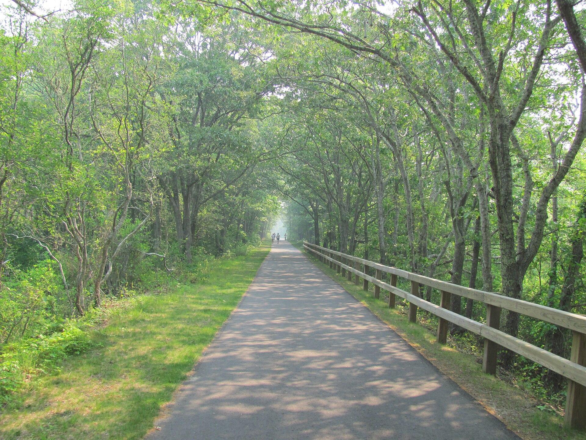
The Cape Cod Rail Trail is a 26.5-mile paved rail-trail from Yarmouth to South Wellfleet, Massachusetts. All of it is asphalt.
- Length26.5 mi, Yarmouth to South Wellfleet
- Surface100% paved
- Elevation gain696 ft
- Hours and feesOpen sunrise to sunset; the trail is free, and parking at Nickerson State Park costs $5 for Massachusetts residents and $20 for others from Memorial Day to October 31
- DogsAllowed
- Managed byMassachusetts Department of Conservation and Recreation (DCR)
Cape Cod Rail Trail map and GPX
The map above shows the whole trail. The GPX file is free to download, no account needed. The line follows a former railway across the Cape, from Yarmouth through Dennis, Harwich, Brewster, Orleans and Eastham to South Wellfleet. The line stays close to sea level, so the grades stay gentle and the trail suits families, children and heavy bikes in either direction.
Cape Cod Rail Trail parking and access points
| Access point | Mile | Parking | Restrooms | Water |
|---|---|---|---|---|
| Yarmouth | 0 | Yes | Yes | – |
| Station Avenue | 0.4 | Yes | – | – |
| Mile 2.5 | 2.5 | Yes | – | – |
| Main Street | 3.6 | Yes | – | – |
| CCRT Dirt Lot | 4.9 | Yes | – | – |
| Sandy Pond Beach Parking | 5.6 | Yes | – | – |
| Headwaters Drive | 8.2 | Yes | Yes | – |
| Pleasant Lake | 8.7 | – | – | Yes |
| Harwich Road | 9.8 | Yes | – | – |
| Mile 10.2 | 10.2 | Yes | Yes | – |
| Long Pond Road | 11.6 | Yes | Yes | Yes |
| Underpass Road | 12.1 | Yes | – | – |
| East Brewster | 12.8 | – | – | – |
| Nickerson State Park | 14.3 | Yes | Yes | Yes |
| Upper Boat Meadow Conservation Area | 17.7 | Yes | – | – |
| Eastham | 19.8 | Yes | – | – |
| Mile 20.7 | 20.7 | Yes | Yes | – |
| North Eastham | 22.2 | Yes | – | – |
| Fresh Brook | 24.1 | – | – | – |
| Lieutenant Island Road | 24.5 | Yes | – | – |
| LeCount Trailhead | 25.7 | Yes | – | – |
| South Wellfleet | 26.1 | – | – | – |
| South Wellfleet | 26.5 | – | Yes | – |
Miles are measured from Yarmouth. Each link opens directions in Google Maps. There is parking near most access points, so you can start almost anywhere and ride out and back. Restrooms and water are easiest to find in the middle of the trail, around Long Pond Road and Nickerson State Park.
Is the Cape Cod Rail Trail paved?
Any bike works: 100% of the trail is paved. There is no gravel or dirt stretch along the line, so road bikes, trailers and children's bikes all manage it, and the surface stays the same from Yarmouth to South Wellfleet.
Sections
Yarmouth to Headwaters Drive (8.2 mi)
The first section is 8.2 miles long and 100% paved, with 220 ft of climbing. It passes South Dennis and North Harwich, with Barb's Bike Shop close to the trail at mile 3.6 and Sandy Pond Beach Parking at mile 5.6. Headwaters Drive has parking and restrooms.
Headwaters Drive to Upper Boat Meadow Conservation Area (9.5 mi)
The second section is 9.5 miles long and 100% paved, with 200 ft of climbing. It runs past Pleasant Lake and through East Brewster, where several bike shops and rentals sit right by the trail, and reaches Orleans at mile 16.8. Nickerson State Park at mile 14.3 has parking, restrooms and water.
Upper Boat Meadow Conservation Area to South Wellfleet (8.8 mi)
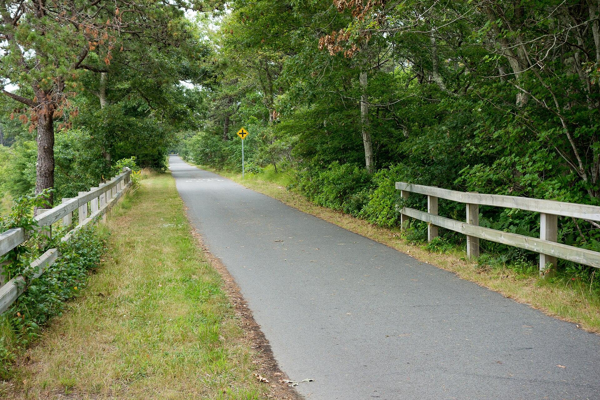
The last section is 8.8 miles long and 100% paved, with 279 ft of climbing. It crosses Eastham and North Eastham, passes Fresh Brook and ends in South Wellfleet, just beyond LeCount Trailhead. Little Capistrano Bike Shop rents bikes near the end.
Getting there
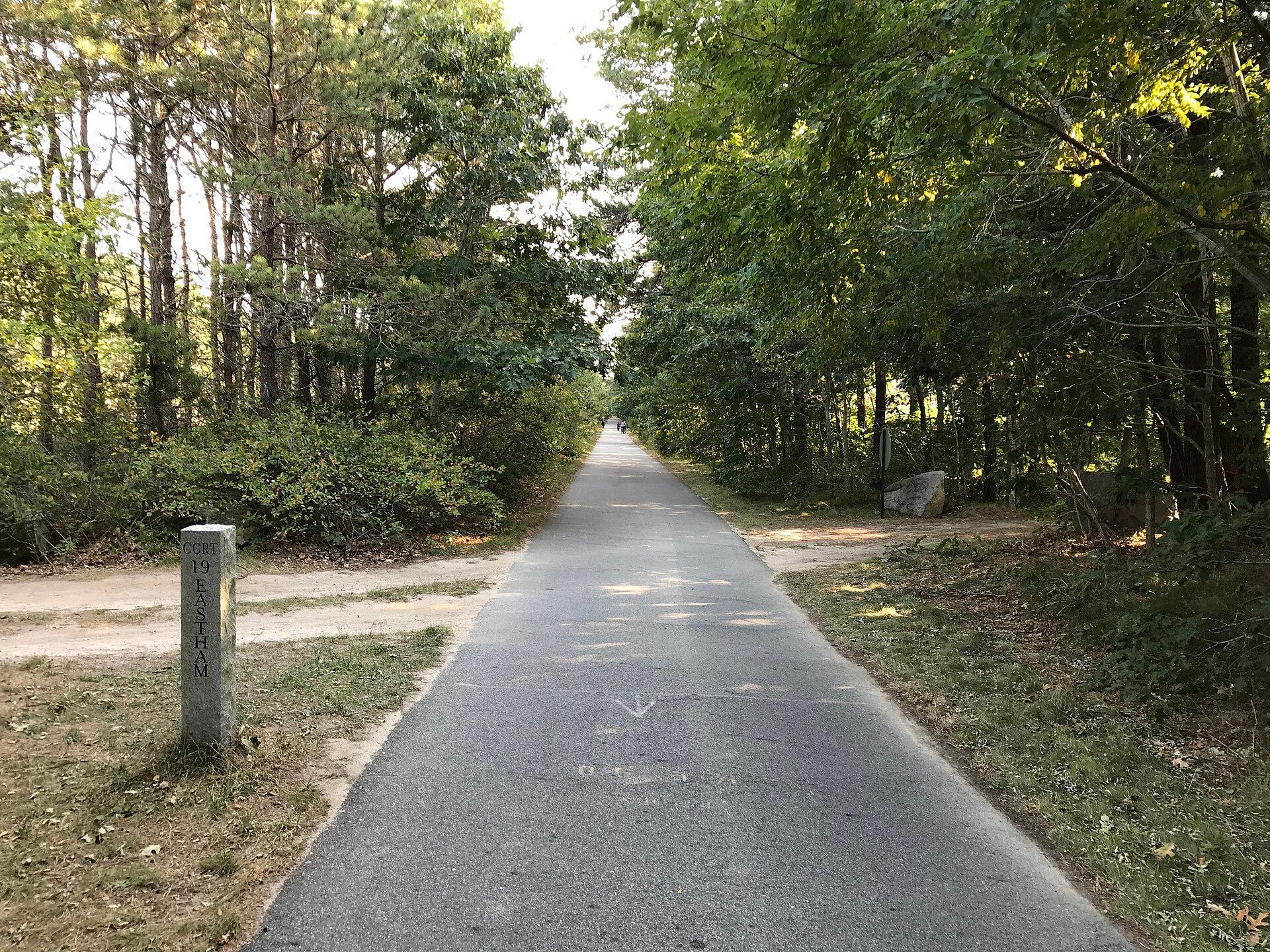
DCR lists free parking for trail users at Stations Avenue in South Yarmouth, Route 134 in South Dennis, Headwaters Drive in Harwich, Route 137 in Brewster, Orleans Center, the Salt Pond Visitor Center in Eastham, the Marconi Area and LeCount Hollow Road in South Wellfleet. Parking at Nickerson State Park is paid from Memorial Day to October 31.
When to ride and closures
The trail is open from sunrise to sunset. Riding after dark with lights is at your own risk. Check the DCR trail page for current notices before you go.
Bike shops and rentals along the trail
- Barb's Bike Shop, mile 3.6 (0.1 mi off the trail)
- Brewster Cycling Center, mile 11.8 (on the trail)
- Rail Trail Bike & Kayak, mile 12 (on the trail)
- On The Trail E-Bike Rentals, mile 12.7 (0.2 mi off the trail)
- Ocean Edge Bike Rental, mile 12.8 (0.1 mi off the trail)
- Orleans Cycle, mile 16.8 (on the trail)
- Idle Times Bike Shop, mile 16.8 (on the trail)
- Little Capistrano Bike Shop, mile 25.8 (on the trail)
There are bike repair stations on the trail at mile 9.8 and mile 14.2.
Cape Cod Rail Trail FAQ
How long is the Cape Cod Rail Trail?
26.5 miles, from Yarmouth to South Wellfleet.
Where does the Cape Cod Rail Trail start and end?
It starts in Yarmouth, near Station Avenue, and ends in South Wellfleet, just beyond LeCount Trailhead.
Is the Cape Cod Rail Trail paved?
Yes, all of it is paved.
Where is free parking for the Cape Cod Rail Trail?
DCR lists free trail parking at Stations Avenue in South Yarmouth, Route 134 in South Dennis, Headwaters Drive in Harwich, Route 137 in Brewster, Orleans Center, the Salt Pond Visitor Center, the Marconi Area and LeCount Hollow Road.
Are dogs allowed on the Cape Cod Rail Trail?
Yes, dogs are allowed.
Are there bathrooms on the Cape Cod Rail Trail?
Yes, at Yarmouth, Headwaters Drive, Long Pond Road, Nickerson State Park and several other access points in the table above.
Where can you rent bikes on the Cape Cod Rail Trail?
Rentals sit right by the trail in East Brewster, around mile 12.7 to 12.8, and at Little Capistrano Bike Shop near the end in South Wellfleet.
What are the Cape Cod Rail Trail hours?
The trail is open from sunrise to sunset, and it is free to use.
Reviews
No reviews yet. If you’ve ridden it, tell others how it went.
Nearby routes
Looking for a different trip?