About this route
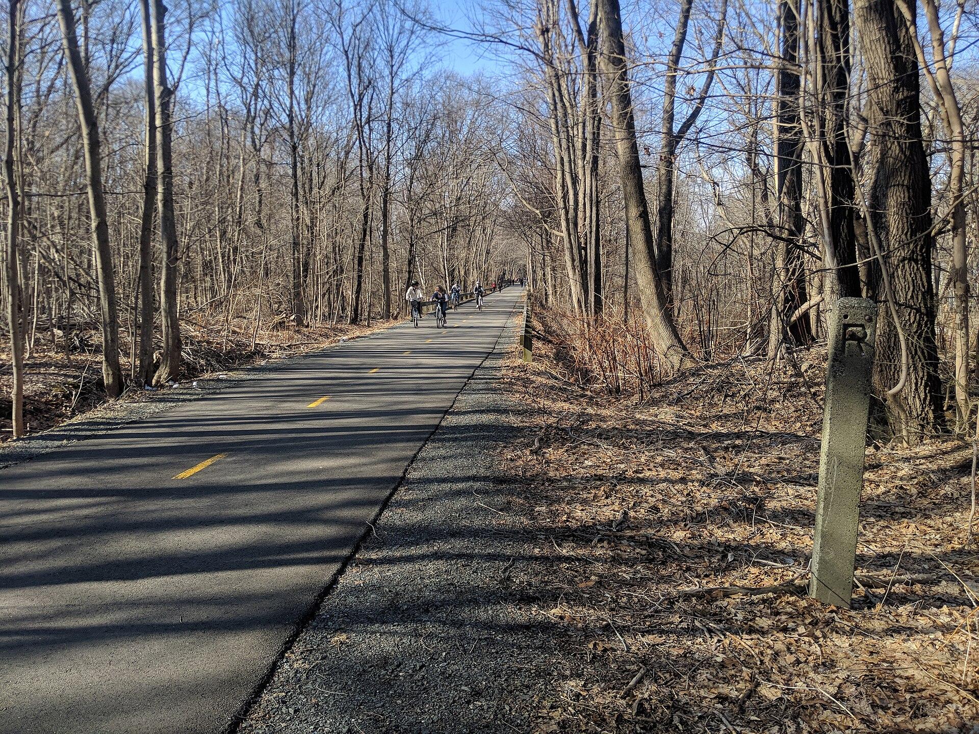
The Hudson Valley Rail Trail is a 7-mile rail-trail from Ohioville to Highland Landing, New York. It is 100% paved and climbs 197 ft in total.
- Length7 mi, Ohioville to Highland Landing
- Surface100% paved
- Elevation gain197 ft
- FeesPaid parking on Haviland Road and at the trail's own parking lot, Town of Lloyd
- RulesNon-motorized only: no motor vehicles on the trail
- Managed byBuilt in partnership by the Town of Lloyd, Ulster County, New York State and the HVRT Association
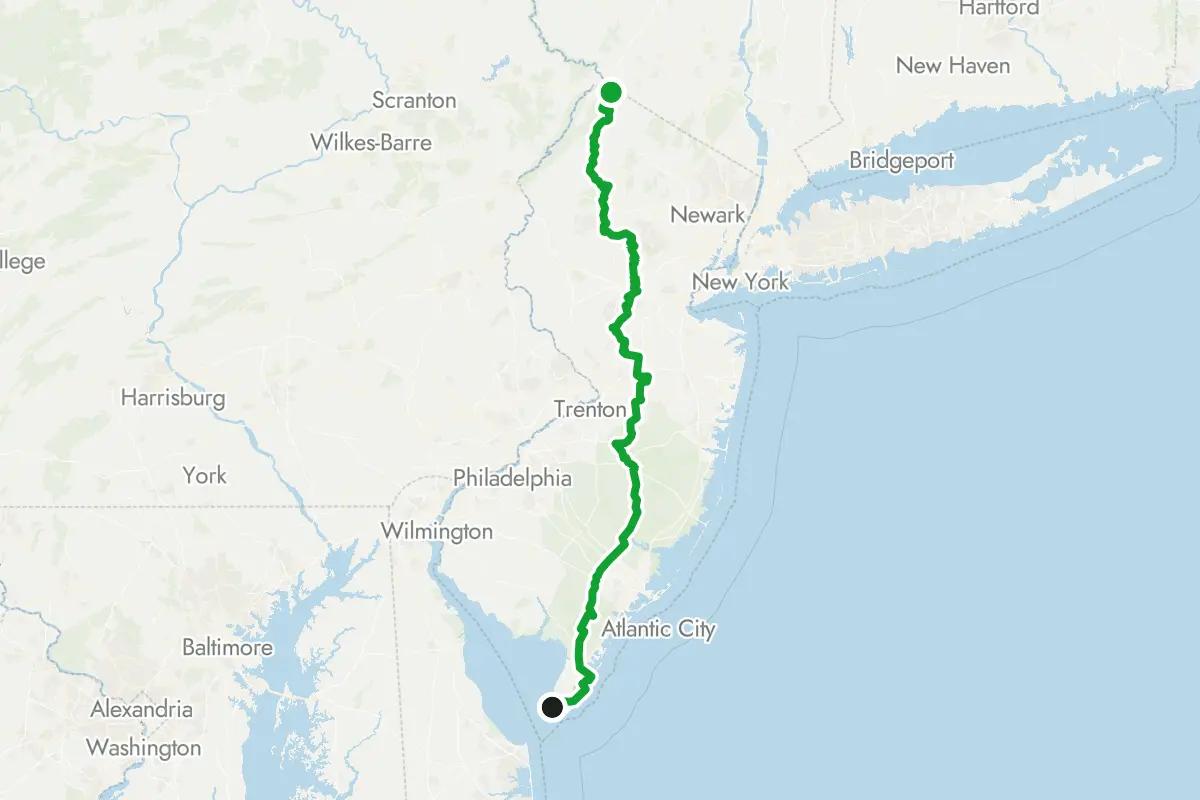
Hudson Valley Rail Trail map and GPX
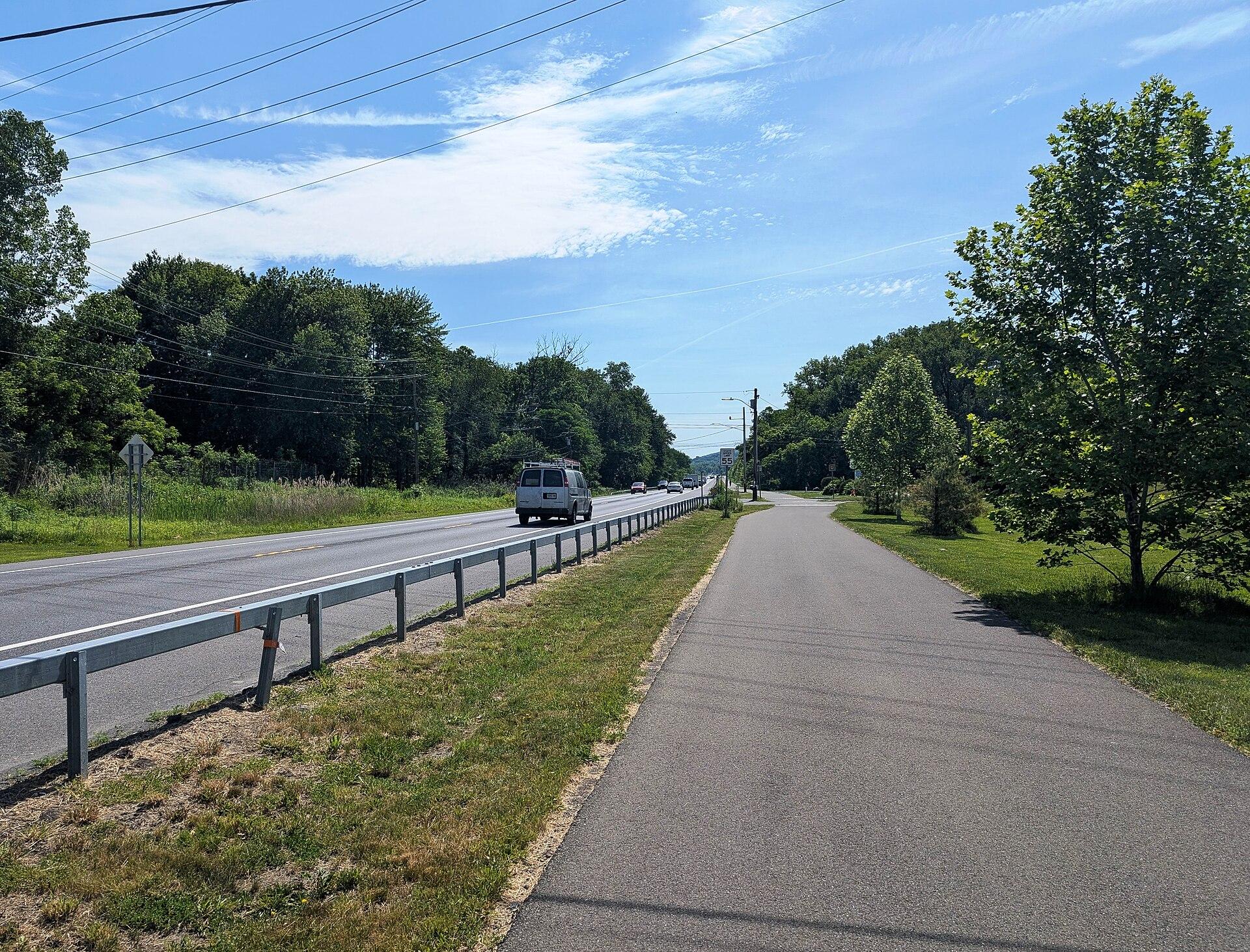
The map above shows the whole trail. The GPX file is free to download, no account needed. The trail runs from Ohioville to Highland Landing, through Elting Corners and Lloyd. It has a bridge at Main Street. The Walkway Over the Hudson, by Haviland Road, is where the trail begins. Its western section runs alongside New York State Route 299 to New Paltz.
Hudson Valley Rail Trail parking and access points
| Access point | Mile | Parking | Restrooms | Water |
|---|---|---|---|---|
| Ohioville | 0 | Yes | – | – |
| Elting Corners | 1.7 | Yes | – | – |
| Lloyd | 3.2 | Yes | Yes | Yes |
| Mae Lane | 4.8 | Yes | Yes | – |
| Highland | 6 | Yes | – | – |
| Mile 6.4 | 6.4 | Yes | – | – |
| Highland Landing | 7 | Yes | Yes | Yes |
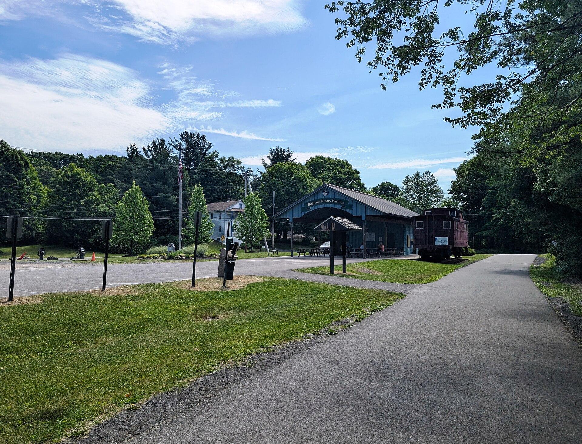
Miles are measured from Ohioville. Each link opens directions in Google Maps. Ohioville, the start, has parking. Haviland Road has two trail parking lots, and Tony Williams Field has bathrooms. Lloyd and Highland Landing have parking, restrooms and drinking water.
Is the Hudson Valley Rail Trail paved?
The whole trail is paved, so any bike works. Woods Walk is an unpaved stretch along the old rail bed. The trail is shared-use, and motor vehicles are not allowed on it.
Sections
Ohioville to Highland Landing (7 mi)
This section is gently rolling and has several street crossings. In places the trail runs beside wetland. Along the way it passes Elting Corners, Lloyd and Highland before Highland Landing. Hudson Bike Co. is a bike shop, a short detour off the trail.
Things to see along the Hudson Valley Rail Trail
| Place | Mile | What it is |
|---|---|---|
| Main Street | 0.1 | Bridge |
| Mile Hill Road | 6.6 | Bridge |
| Walkway Over the Hudson | 7 | Bridge |
The Sojourner Truth Statue is on the Ulster County side of the Walkway. Scouts Bridge is a shortcut from the trail to the Hudson River. The trail reaches the Black Creek Wetlands Complex.
Getting there
Paid parking (Town of Lloyd) is on Haviland Road and at the trail's own parking lot. Tony Williams Field, off Route 299, provides parking for the trail. Free parking is off Huguenot Street in New Paltz. The Metro-North and Amtrak station in Poughkeepsie is 4 blocks from the Walkway.
When to ride and closures
The Empire State Trail, which runs along this trail, is open every day of the year. Check the manager's page for current notices before you go.
Bike shops and rentals along the trail
- Hudson Bike Co., mile 6.4 (0.1 mi off the trail)
Connecting trails
- Wallkill Valley Rail Trail in New Paltz, via a 1.5-mile road segment
- Dutchess Rail Trail continues east from the Walkway, on the east side of the Hudson
Hudson Valley Rail Trail FAQ
How long is the Hudson Valley Rail Trail?
7 miles, from Ohioville to Highland Landing.
Where does the Hudson Valley Rail Trail start and end?
It starts in Ohioville and ends in Highland Landing. Ohioville, the start, has parking.
Is the Hudson Valley Rail Trail paved?
Yes, all of it is paved.
Where can you park for the Hudson Valley Rail Trail?
Paid parking is on Haviland Road and at the trail's own parking lot. Free parking is off Huguenot Street in New Paltz.
Is the Hudson Valley Rail Trail open in winter?
Yes: the Empire State Trail, which includes this trail, is open every day of the year.
Reviews
No reviews yet. If you’ve ridden it, tell others how it went.
Nearby routes
Looking for a different trip?