Route Overview
U.S. Bicycle Route 50 (California Section) offers a fun journey from San Francisco's iconic Golden Gate to the serene Lake Tahoe, featuring a steady climb through diverse California landscapes. The adventure begins at Crissy Field in San Francisco, where cyclists take a ferry ride to Vallejo, offering unique views of Angel Island State Park and Paradise Beach. This 5-8 day journey is predominantly on paved surfaces, making it suitable for road bikes, gravel bikes, or trekking bikes, with the reversed downhill version from Tahoe to San Francisco recommended for less experienced riders.
Key Highlights
- Golden Gate Bridge and Crissy Field waterfront views
- Bay ferry journey with panoramic views of Angel Island State Park
- Lagoon Valley Park
- American River Trail's traffic-free pathway through Sacramento
- El Dorado Trail's winding path to historic Placerville
- Jenkinson Lake at Sly Park Recreation Area
- Eldorado National Forest's pristine wilderness
- Option to explore Meiss Meadow via Pacific Crest Trail
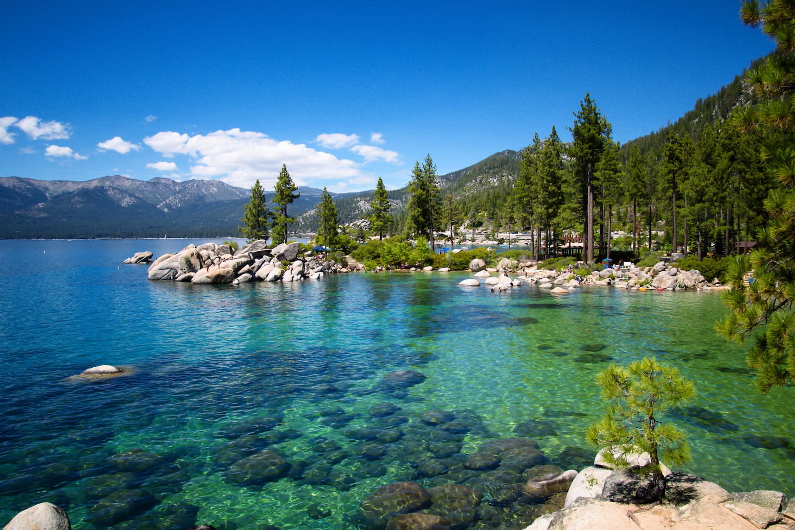
- South Lake Tahoe's majestic mountain vistas
 Lagoon Valley Park. Photo by AlessandraRC
Infrastructure and Facilities
-
Dedicated Paths:
- Solano Bikeway
- McGary service road
- American River Trail
- El Dorado Trail
-
Rest Areas and Amenities:
- Lagoon Valley Park rest stop with tables and restrooms
- Sly Park Recreation Area (191 campsites)
- Multiple access points to water and supplies in towns
- Ferry terminal facilities in San Francisco and Vallejo
-
Road Types:
- Protected bike paths
- Low-traffic local roads
- Service roads
- Some sections on state routes (particularly near Tahoe)
- Alternative trail options for avoiding heavy traffic
Detailed Bike Trail Description
 San Francisco Bay Ferry. Photo by Anita bloodua
The adventure begins next to San Francisco's iconic Golden Gate, where cyclists are immediately treated to a delightful 4-mile ride along Crissy Field, a popular recreational area bustling with local life. The first twist in the journey comes early – a one-hour ferry ride to Vallejo (around $10) that offers a unique perspective of Angel Island State Park, Paradise Beach, and San Francisco's ports from the water. Bicycles are permitted on the ferry, with a designated storage area for cyclists' bikes during the journey.
Upon reaching Vallejo, you'll navigate local roads including the two-way Columbus Parkway. While this stretch experiences moderate car traffic, its location on the city's outskirts means it's generally quieter than central routes. The route then transforms as you join the Solano Bikeway, a fully separated cycling path running parallel to the highway. This transitions smoothly into McGary service road, maintaining the car-free experience.
The journey through Fairfield and Dixon reveals California's quieter side, with the route meandering through peaceful backroads and occasional bike paths. Just before reaching Vacaville, cyclists can take advantage of a well-placed rest stop at Lagoon Valley Park, complete with a table and restroom – a perfect spot to recharge.
Sacramento brings a very pleasent section of the route as you merge onto the The American River Parkway Trail, a paved, high-quality traffic-free bike route. Beyond Folsom, the character changes again as you navigate local roads with light traffic until reaching El Dorado, where the charming El Dorado Trail carries you for 10 scenic miles into Placerville.
A notable stop awaits at Sly Park Recreational Area, 13 miles east of Placerville. This forested haven surrounds the picturesque Jenkinson Lake, offering nine miles of trails, swimming spots, boat ramps, and 191 campsites – perfect place to stop for the night.
The final leg presents two exciting options. The main route follows the paved back roads through Eldorado National Forest until Tragedy Spring, where you'll join Road 88 for a mostly downhill ride to South Lake Tahoe. For those seeking a more adventurous finish, an alternative route branches off at Kit Carson Pass, following the Pacific Crest Trail through the stunning Meiss Meadow before reuniting with civilization at Tahoe Valley. Note that the alternative branch section requires a mountain bike and is not suitable for road or gravel bikes.